Ha Giang Loop – North Vietnam
- The Experience
- What to Expect & How to Prepare
- Region & Geography
- Time of year to visit
- How to get there from Hanoi.
- Four Day Itinerary
- Day 1: Ha Giang to Yen Minh – 110 km
- Day 2: Yen Minh to Lung Cu (Chinese Border) – 60 km
- Day 3: Lung Cu to Meo Vac (via Dong Van) – 100 km
- Day 4: Meo Vac to Ha Giang – 150 km
- Final thoughts
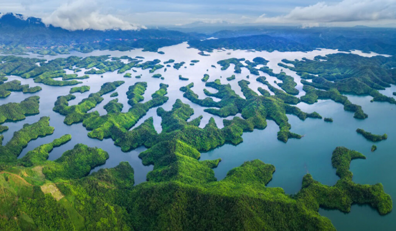
If you’re in Northern Vietnam and looking for adventure far from the well-worn trails, there is one place that deserves to be right at the top of your travel list: the Ha Giang Loop. Here, deep in the Dong Van Karst Plateau, you’ll find jaw-dropping mountain vistas, vibrant ethnic traditions, all the open roads you could ever hope for, and more.
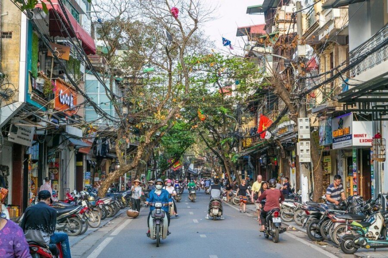
Almost unknown until a few years ago, this route is gradually winning the hearts of a small, but growing, number of travelers. Those who make the 300km journey from Hanoi are well rewarded with one of the country’s best road trips.
In this article, we will cover:
- What to expect
- How to prepare
- A day-by-day itinerary to help you make the most of the journey
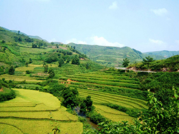
The Experience
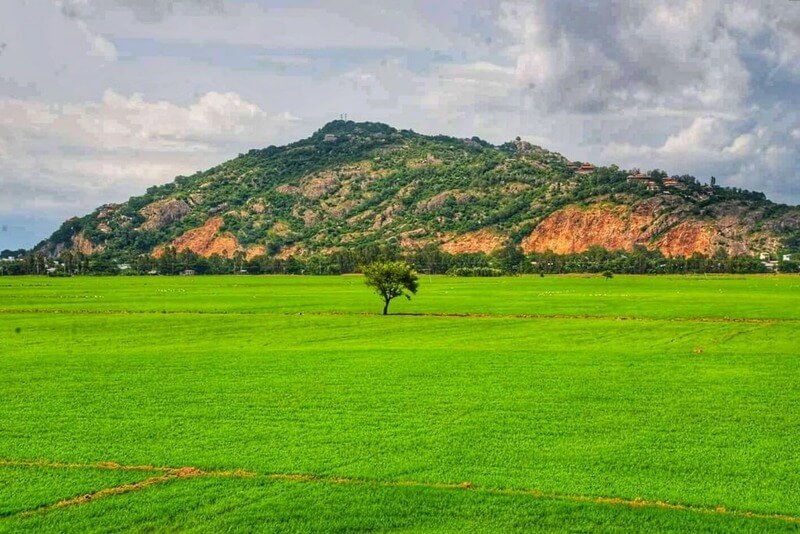
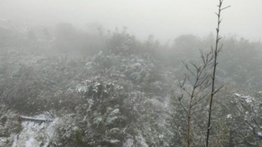
Ha Giang’s landscape. Photo: Gavin White
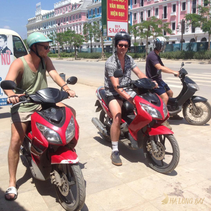
The most common way to see the loop is by motorcycle, but, of course, bikes aren’t for everyone. If you prefer four wheels instead of two, you can easily swap the bike for a taxi or a guided car tour.
Unlike the more popular tourist destinations, Ha Giang strikes a perfect balance between rustic charm and modern facilities.
On the one hand, guest houses are plentiful and well-kept, many menus are in English, and somehow the WiFi is blazing fast. On the other, colorful local cultures and rustic traditions continue as a part of everyday life.
What to Expect & How to Prepare
The Ha Giang Loop is a utopia for anyone with a love of road trips! Mountain passes, tight hairpin turns, and undulating riverside asphalt is all part of the journey. The roads here make for an addictive ride, but, it wouldn’t be an adventure without a few hazards!
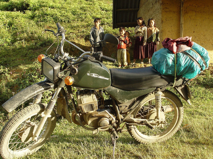
A motorbike on the Ha Giang Loop. Photo: Peter Garnhum
This is what you need to watch out for while riding your motorbike:
- Road surfaces are poorly maintained. Be prepared to tackle potholes and gravel at any moment.
- “He who dares wins” seems to be many locals’ approach to driving. Expect them to overtake you.
- Staying on the right side of the road is more of a guideline than a hard rule.
- While most Vietnamese drivers are incredibly skilled at navigating their challenging roads, a few are not. It’s not uncommon to see children piloting full-size motorbikes! It’s best safest to assume the worst and give everyone room.
- If you haven’t ridden a motorcycle before, driving here might be difficult, so it’s recommended that you get some practice time in before you start. If you are nervous, here is everything you need to know about riding safely in Vietnam.
- Renting a bike: Rentals are available in Hanoi and Ha Giang and range in both price and size. The majority of tourists choose the 110cc motorbike for its low weight and simple operation. You can also buy a motorbike if you are staying longer.
- It’s advised that you go to a reputable company when renting or purchasing a motorbike as a poorly maintained one can be bad news on mountain passes!
Check out our motorbikers’ essential checklist for more information. It’s packed with info on everything you need to get the most out of any two-wheeled adventure in Vietnam!
Region & Geography
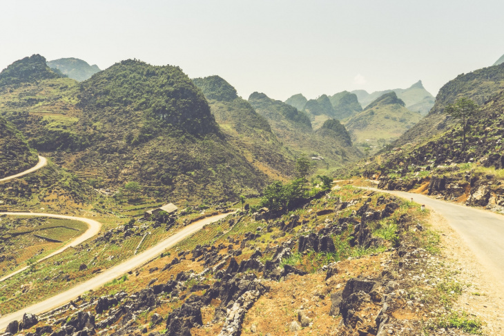
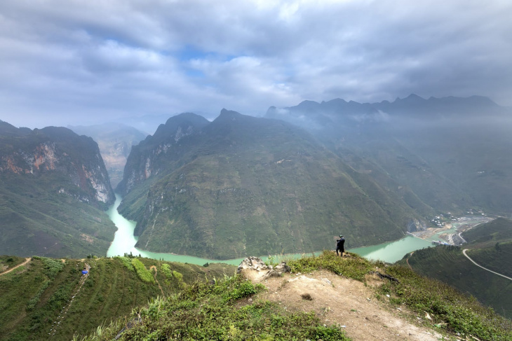
As the name suggests, the Ha Giang Loop starts and ends in Ha Giang, the province’s capital. The route is approximately 300 km and rises from 100 m (33 ft) altitude up to 1500 m (4900 ft).
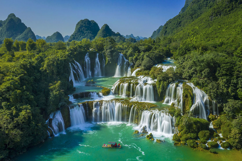
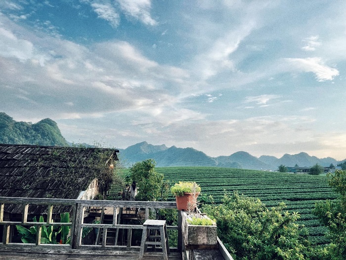
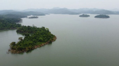
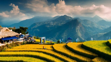
Home to the Dong Van UNESCO Geopark and the Dong Van Karst Plateau, Ha Giang Province boasts some of Vietnam’s most impressive scenery. Limestone mountains dominate the skyline, and turquoise rivers flow through vast, seemingly endless gorges. Layer upon layer of terraced fields cultivates the impossibly steep hillsides, laying delicate man-made decorations on the immense natural landscape.
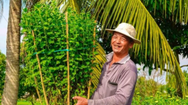
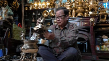
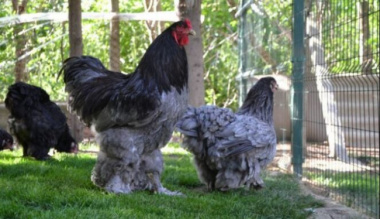
It is also one of the country’s most culturally diverse regions, with seventeen distinct ethnic groups. Any budding anthropologists will have the chance to test their knowledge, identifying different groups by their traditional attire.
Ha Giang, Vietnam. Photo: Water Alternatives Photos
Each group keeps its own customs and holiday, making for dozens, if not hundreds, of events throughout the year. If you take the time to wander through the towns and villages, there is a high chance of seeing a small celebration or ritual in action.
Unfortunately, like so many places that still hold a rich cultural heritage, Ha Giang remains one of Vietnam’s poorest regions. Nevertheless, the lack of wealth should not be misinterpreted. “Humble” means colorful, not hopeless, and “undeveloped” means authentic, not backward!
Time of year to visit
The best times of year are October – November, and March – April.
- The dry season is from October – April
- The rainy season runs from May – September
- Generally speaking, the dry season is cooler, and the rainy season is hotter
- The coldest months are from December – February, with a minimum temperature of 48°F (9°C)
- It’s hottest from July – September, with a maximum temperature of 85°F (30°C)
Ha Giang. Photo: Vinnie Cartabiano
Visiting from October – November will give you the clearest skies and the safest driving conditions. After November, it can get too cold for all but the most well-kitted-out bikers. The risks on the roads increase considerably during the rainy season as well.
Steep mountain passes are prone to landslides, and oil from trucks will float on the road’s surface. Even for the risk-tolerant traveler, hitting unexpectedly slick corners on a cliff edge could cause more of an adrenaline rush than you are looking for!
How to get there from Hanoi.
If you’re doing the Loop with a tour company, the trip will probably include a transfer from Hanoi. If you’re traveling independently, then these are your options:
- By motorcycle: 300km in Vietnam takes a lot longer than you might expect, so allot about 7-10 hours.
- Bus: There are regular bus services from Hanoi to Ha Giang town, which take around 8 hours.
Four Day Itinerary
Being that this trip is going to take you a few days to complete and you’re going to want to take in all the sights that the loop has to offer, we broke the trip down into a 4-day adventure. Starting in Ha Giang, you’ll venture to Yen Minh, Lung Cu, and Meo Vac, staying the night in each location.
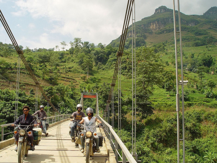
Crossing the Chay River, Ha Giang. Photo: Peter Garnhum
Day 1: Ha Giang to Yen Minh – 110 km
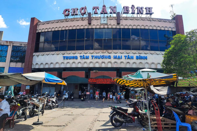
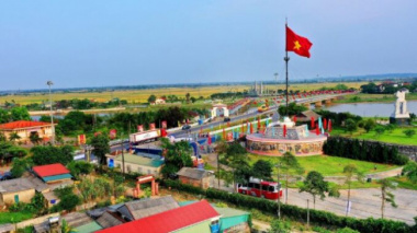
Ha Giang serves as a hub for anyone traveling further north into the Dong Van Karst Plateau. Many travelers stop here for the night after the long journey from Hanoi and take the opportunity to switch from a bus to a motorcycle or car for the next leg of the trip.
If you’re accustomed to the bustle of Hanoi, arriving in Ha Giang will feel like stepping into another world! Despite being the provincial capital, it’s a hamlet compared to the city. The pace of life is far slower, and it’s surrounded by mountains on all sides, with the Song Lo River flowing through its center.
The first leg of the journey takes you towards Quan Ba (Heaven’s Gate), a viewpoint 45 km ride from Ha Giang (2-hour ride). Setting off soon after breakfast will give you more than enough time to stop for photos along the way and you’ll probably want to stop for plenty. After leaving the town, the road quickly heads deep into the dramatic limestone mountains, leaving civilization far behind.
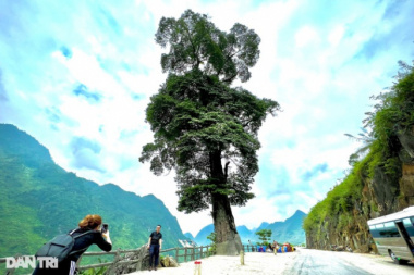
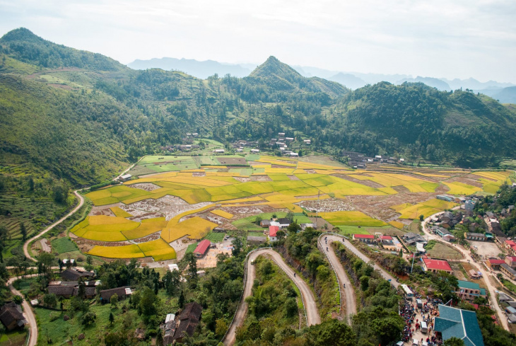
Yen Minh is a highland border district in Ha Giang province. Photo:
This first stretch of road is also home to one of the Loop’s most challenging sections: The Bac Sum Pass. This unbelievably steep and twisty road winds up and up into the mountains and will require a rider’s complete concentration. Of course, that means there won’t be much opportunity for eyeballing the scenery from the saddle.
Thankfully, the hairpin bends provide multiple vantage points on which to stop and take in the valley’s spectacular sights.
Tip: Confident riders will love Bac Sum. But, it will be a challenge if you’re new to motorcycles. If you’re a beginner, it’s definitely worth taking the time to practice your skills in Ha Giang before setting off.
After the Bac Sum Pass, you can stop for a proper breather at Heaven’s Gate. It’s a stunning viewpoint overlooking a valley floor that’s crisscrossed with a labyrinth of beautifully misshapen terraced fields. But the most striking features are the hills. They rise abruptly out of the valley floor, their conical shape resembling huge molehills or the pyramid of sand in an hourglass.
At the viewpoint, there’s a café geared towards tourists where you can grab some lunch. Alternatively, try venturing down into the village below for something a little more rustic. There are few tourist facilities, but anyone who likes to get up close and personal to the local way of life will enjoy the more authentic surroundings.
Once you’ve refueled and maybe pepped up on a couple of the delicious Vietnamese coffees, it’s time to hit the road towards Yen Minh, the stop for the night. After a few miles, the route rejoins the Song Lo near the riverbank before the road snakes back up into the hills.
If you’re staying in Yen Minh, don’t expect a wealth of food and accommodation options. But, after the day’s ride, the chances are that you’ll be tired enough for anything that’s on offer to feel like luxury!
Day 2: Yen Minh to Lung Cu (Chinese Border) – 60 km
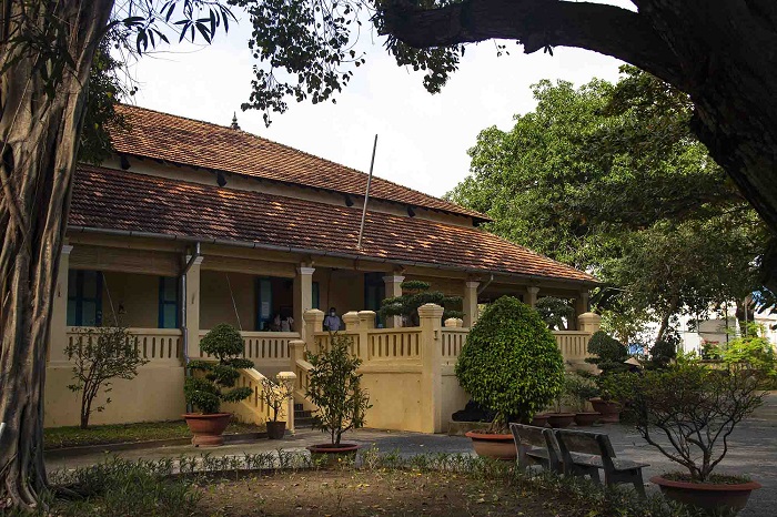
Today is a shorter route but plan time for some sightseeing along the way. There is one place that absolutely should not be missed: a former palace built for the Hmong tribe’s most powerful family.
Located about 30 km away, in Xa Phin, the palace is set in the heart of a pine forest. Stone steps lead up to the entrance and are situated between large pillars, each decorated with ornate carvings of dragons and phoenixes. Overall the palace covers 64 rooms, all constructed from stone, wood, and terracotta.
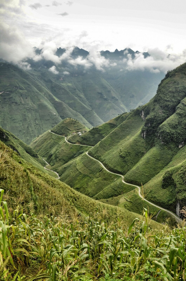
Lung Cu. Photo: Nguyễn Ngọc Ánh
The design is influenced by aristocratic Chinese palaces, but with carvings of poppies everywhere. It was initially built for a lord who made his fortune in the opium trade. Clearly, he didn’t have any misgivings about advertising his career, and the building has even earned the nickname “The Opium Palace.”
This secluded citadel is considered one of the Dong Van Karst Plateau’s great architectural masterpieces. The wood carving, in particular, is unbelievably intricate, and you can picture dozens of artisans pouring their time and skills into creating it over 100 years ago.
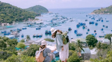
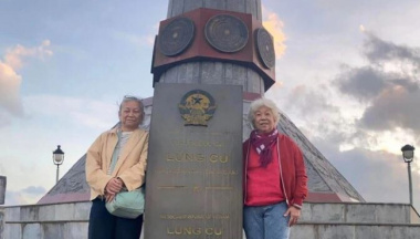
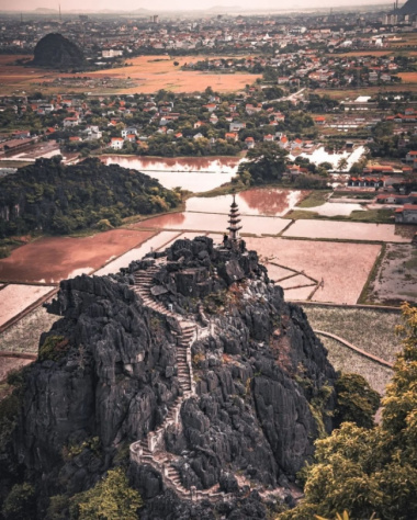
Once you’ve filled your cultural boots, it’s time to hit the highway out towards Lung Cu, which will be the second stop for the night. A small town on China’s doorstep, Lung Cu is famous for its colossal flag tower and 360-degree views.
A slab-like, concrete pillar, it is certainly an imposing structure jutting into the sky. Make sure to reach the top though as it offers incredible, panoramic views of the surrounding area.
Looking north, you can see deep into China’s territory, meanwhile, if you look south, you can view the Don Van Karst Plateau. As a vantage point, it’s impossible to beat, and it gives you a chance to appreciate the region’s natural geography as a whole. If you’re able to stay for sunset, the golden light rippling over the sea of sharp peaks and valleys will make for a spectacular finale to the day!
Plenty of accommodations can be found in the town nearby, although you shouldn’t expect luxury. Some buildings are modern, and some are old-style wooden houses on stilts. Whatever the style, proprietors clearly take pride in their businesses. They are keen to ensure their guests experience the very best of Vietnamese hospitality.
Day 3: Lung Cu to Meo Vac (via Dong Van) – 100 km
At 100 km, you’re in for another long day of riding, but it might just be the best day of the trip! Leaving Lung Cu, it’s a scenic ride down to Dong Van. Be sure to hit the road reasonably early so that there’s plenty of time to really enjoy your journey.
Dong Van is a mini tourist hub, and pretty much everything you could want is available. If, after a few days in the sticks, you fancy something a little more Western for lunch, then you can find it here. Or, you might have run out of some essentials and need to stock up. Either way, plan to stop off in Dong Van for about an hour.
If possible, try to be there on market day as it has become somewhat of a tourist attraction, although foreign faces will still be in the minority! It’s a bustling, chaotic hive of activity, a real living and breathing embodiment of rural Vietnamese life. Brightly colored fabrics are piled high next to stalls selling local snacks, and farm livestock are for sale alongside noodles and fruits.
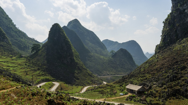
Mèo Vạc. Photo: Nicolas Weydert
The market is arranged on a local calendar and is, therefore, on a different day each week. Before starting your trip, you can phone one of Dong Van’s guesthouses to find out the date and arrange your trip accordingly. It’s worth the effort!
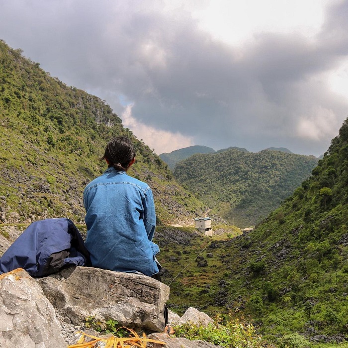
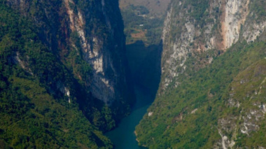
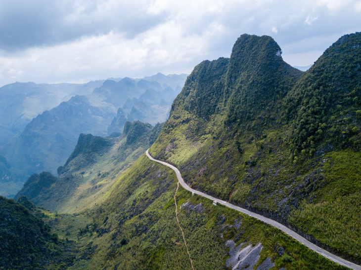
Leaving Dong Van toward Meo Vac will take you over the Ma Pi Leng Pass, possibly the most beautiful and exciting part of the whole Loop. One of the “Four Great Passes,” Ma Pi Leng has become something of a legend in its own right. The cliff-edge roads and deepest gorge in South East Asia have undoubtedly made this stunning stretch of road a highlight of the trip.
Day 4: Meo Vac to Ha Giang – 150 km
We have reached the final day, the last leg back to Ha Giang, and the longest stretch. In total, it takes about seven hours of riding, so you will need to set off reasonably early, and don’t be fooled into thinking that after the Ma Pi Leng Pass, it’s just a boring ride home!
In total, the altitude drops by 1400 m between Meo Vac and Ha Giang, and the winding descent back into the valleys make for an exhilarating ride. As the road flattens out in the valley, it rejoins the river.
Similar to the first day, it road moves along the riverbanks, and the gently winding route makes for a generally relaxing journey. Just be aware that a few sections are very poorly paved so, if there are two of you on a bike, the passenger might get a bit of shaking!
Approaching Ha Giang, there aren’t many places to stop and eat and after the long journey in the morning, you will definitely need some food! Before the final stretch, you can stop for lunch at Bac Me, a little town at a river crossing, where there are food stalls and small cafes that can provide you with the fuel for this final leg home!
Final thoughts
The scenic Ma Pi Leng Pass. Photo: Gavin White
For such a short journey, the Ha Giang Loop packs in a lot of action! Traveling from lowlands to mountains, then back down through the valleys, the loop is a journey of exploration. The culture is as much a part of the journey as the natural landscape and traveling through the towns that Ha Giang’s people call home is a rare insight into their lives and customs.
While many tourists will never see this side of Vietnam, your four days on the Ha Giang Loop will give you an unmissable opportunity to see and feel what life is really like in these beautiful mountains.
Đăng bởi: Vũ Văn Thiên